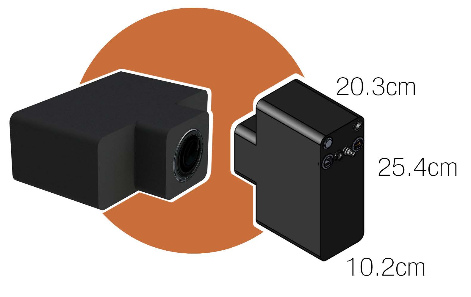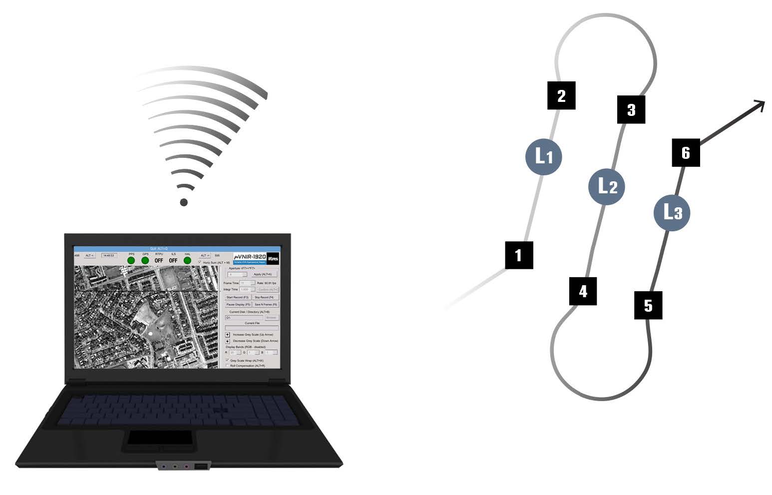
Portable Air/Ground Broadband TIR Imager
3.7–4.8μm Spectral Coverage
26.99 x 21.73° FOV
640 Spatial Imaging Pixels
Custom Fore-Optics Available
High Thermal Resolution
Wide Speed Range
Ultra-High Spatial Resolution
Internal Blackbody Calibration Source
Optional GPS/IMU
Easy Lidar Integration
Remote Operation via R/F Link or
Autonomous via Waypoints
Precision Data Time Stamping to External Devices API Available

PERFORMANCE
Spectral Range:3.7-4.8 microns
(Continuous Coverage)
# Spectral Channels:1 (Broadband)
Cooling System:Cryo-cooler
Image Frame Dimensions:640 x 512
# Across‐Track Pixels:640
Total Field of View:26.99 x 21.73 degrees
f/#:f/2.0
Pixel Size:30 x 30 microns
Dynamic Range:14-bits
Detector Full Well:4.25 Me
Data Rate @30fps:20 MB/s
Maximum FPS, Full Frame:120
NEDT @ 300K:<0.05 degrees C
Data Recording Capacity:480GB (SSD, SATA III)
Data Recording Capacity (hr):6 hours (@ 30fps)
Time Stamping :<1 ms
Data Output:Apparent Temperatures
|

